WWW.PHILLYH2O.ORG
ALL
IMAGES COPYRIGHT.
See Main Page of this Collection for More
Information on Rights and Reproductions.
CLICK IMAGE TO RETURN TO THUMBNAILS
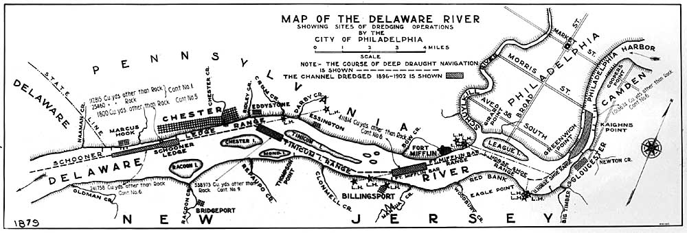
Map
of the Delaware River showing sites of dredging operations by the City of Philadelphia.
From Delaware state line to Market St. 1896-1902.
From Delaware state line to Market St. 1896-1902.
PREVIOUS IMAGE
NEXT IMAGE
20040940001.jpg
77.79 KB